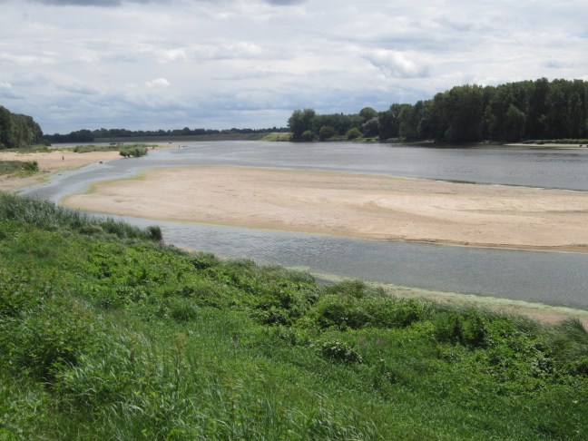
Orleans is on the Loire River. It’s quite wide and appears to be fairly shallow. Many sandbanks and low alluvial-stony islands. But it must flood/get high water at times. Most of the nearby villages are on higher ground or have high levee banks or high stone protective walls along the river. (Apparently last year there was a big flood that flooded the nearby freeway and hundreds of cars with it.) But quite benign this week.
i did a short bike ride along the river path from Combleux, about 6km upstream from Orleans on Saturday. Down to Orleans and then back and a bit further. Combleux was where we went for dinner on Tuesday night so I got some photos then as well. And on Wednesday on the Villandry trip, I crossed the river a couple of times.
The Bridge at Beaugency.

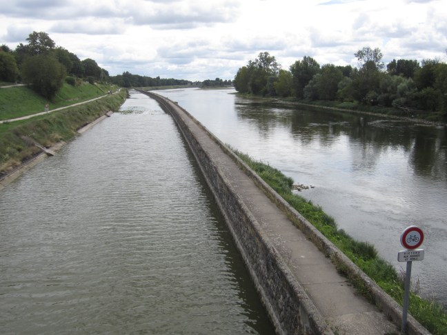
One of the many canals – this one is actually at the side of the river as it comes into Orleans, and separated from the river by a high stone wall with a narrow path along the top.
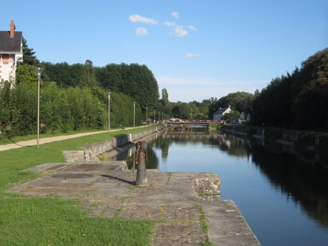
The canals near Orleans mostly seem to be disused – at least the locks don’t seem to be functional. There are two that converge at Combleux.
Bridges and islands at Orleans.


And sandbanks.