We have come about 130km east of Weipa so now back in the middle of the peninsula. We’ve had two nights here. A chance to unpack and rearrange. We are on the line of the Queensland overland telegraph line. (20 years or so behind the planning for the one from Adelaide to Darwin.) The route was surveyed in 1883. A corridor approx 2 chains wide had to be cleared and galvanised iron poles erected to carry the single wire. (Renovations were made during WW2 to make it a 4-line line.) Work started at both ends – one construction party moving south from the tip,and the other moving north (I think from about Laura which was already established as a centre with the nearby goldfields.)
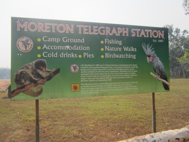
The south moving party got to the Wenlock River and built Moreton Station in 1887. The north-moving party only got to Mein, 90 km away before having to call a halt. So all was ready except for the gap. So for a few years, messages were transmitted with the assistance of telegrams carried on horseback between the two. The line was a key aspect in wartime communications. In the 50s, I think it was, that the use of Morse code to transmit messages was replaced by telephone, but the line continued to be used and supported the peninsula inhabitants – and the beef industry here – until 1987. The telegraph station building has long since been demolished. The museum has a photo.

I understand all the stations had a similar design. The only one still standing is Musgrave which I think was in a blog a couple of days ago. They were well fortified against possible attack from the local aborigines.
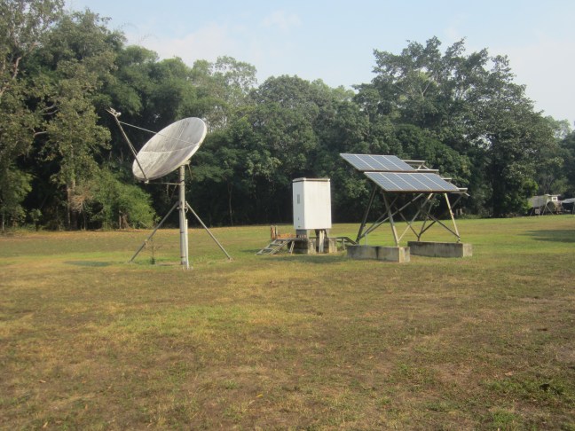
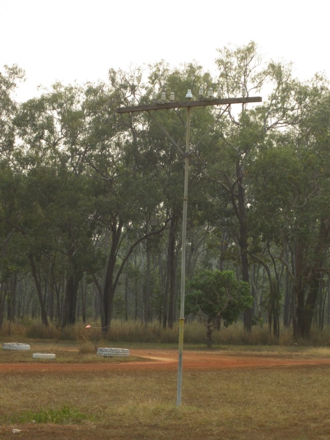
Telstra has taken over communications!
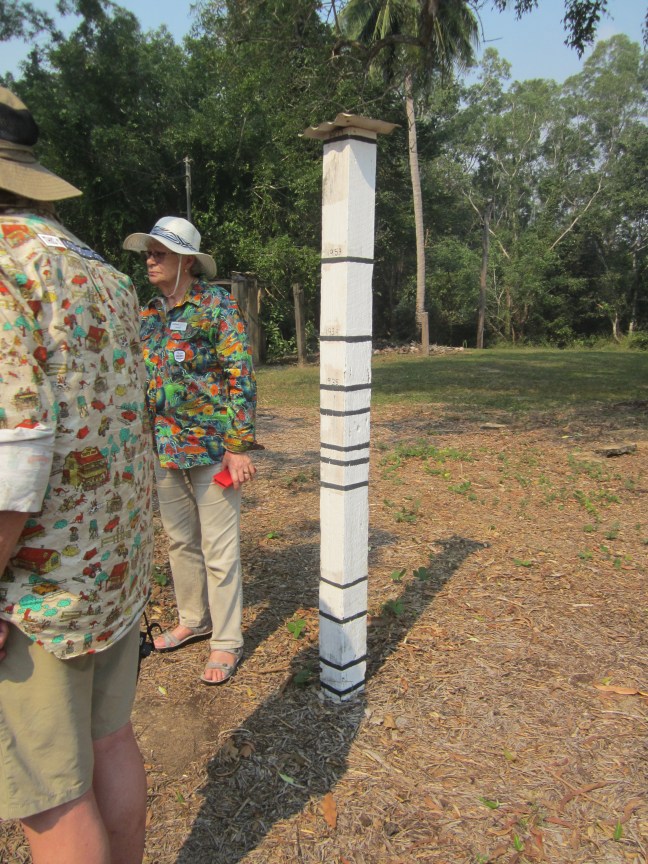
We are located on a large flat area with a caravan park, permanent tents for rent to travellers, and the property owner’s house with shop etc, in addition to the Outback Spirit central building and several blocks of accommodation rooms. This morning we went for a walk down to the Wenlock River. It’s quite a distance down to the river. Apparently around 12m lower. Our buildings are all raised – 4 steps up. And each wet season, they usually get flood water up around the buildings. Near the caravan park is this pole with flood levels marked. ( but heights not noted) the highest measured flood was 1907, then coming down the pole 1953, 1939, 1935.
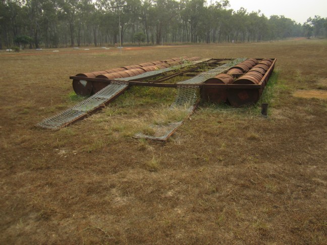
There is a new bridge over the river. (2023). Some time before that there was only a ford. And in the olden days, if you wanted to get your car over the river when there was too much water, the locals had a solution. A car ferry made of 44 gal drums, and using manpower to pull it all across with ropes. One of these ferries is still out the from in considerable disrepair. And then the little museum had some photos.


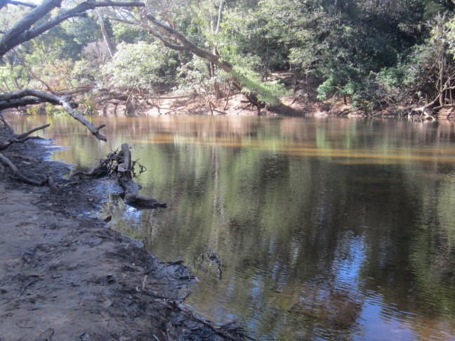
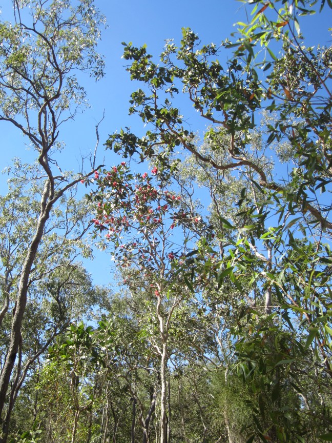
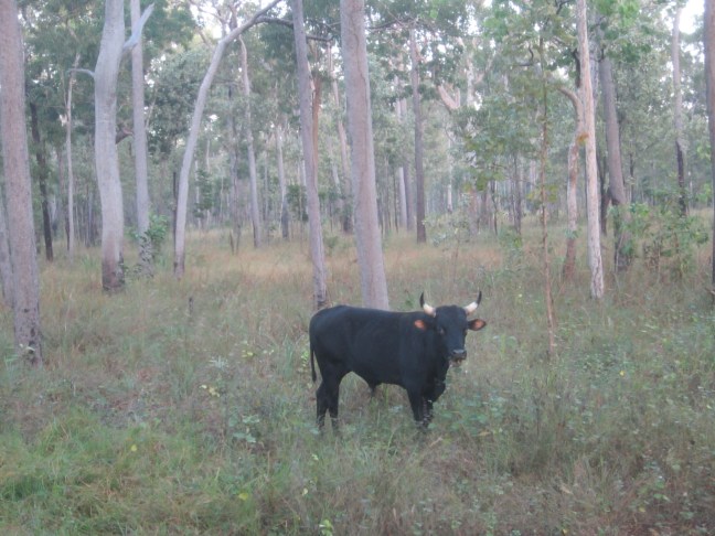
It’s a pretty river though with the ever-present concern about crocs. And some interesting trees. I’ll leave you with some random photos, including the fellow out my back window this morning.