Apart from explorations of history, the highlights of this trip have featured walks in the parks.
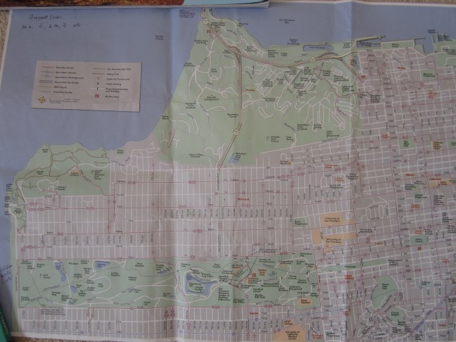
On my previous trip to San Francisco, I’d done the major tourist activities. This last day, a Sunday, I went looking for parks to walk in. There are three major parks on the west side of central SF – the Presidio on the south side of the Golden Gate Bridge (top left on the creased map), then what would have been an extension of that formerly army-owned land, Lincoln Park facing the Pacific Ocean- entrance to SF Bay, and then further south and separated by housing, the long (5km) sliver of green just 750m wide of the Golden Gate Park (at the bottom of the map). Central SF is to the right of the map.
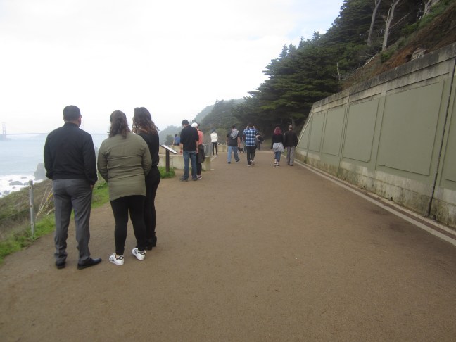
So so I caught the bus. I usually prefer trains or trams – it’s easier to know where they are going. But the #38 starts at Union Square on Geary St and just goes straight for 9km to the beach. It dropped me off at 33rd street and I headed into the SE corner of Lincoln Park. Most of the eastern section is golf course, but crossed by a road and then footpaths. Walked initially uphill and then down past the “don’t feed the coyotes” signs to the coastal track high above the waves crashing on rocks below. Glimpses of what were the remains of shipwrecks at Lands End. And views to the northern shore and back to the bridge.


There were Sunday crowds on the wide pathway that once boasted a tramway (1889-1925) to take passengers to the swimming baths and fairgrounds at the southern end of this park.
The baths were were the main attraction. A postcard view, but now it’s left to the imagination for what was there.


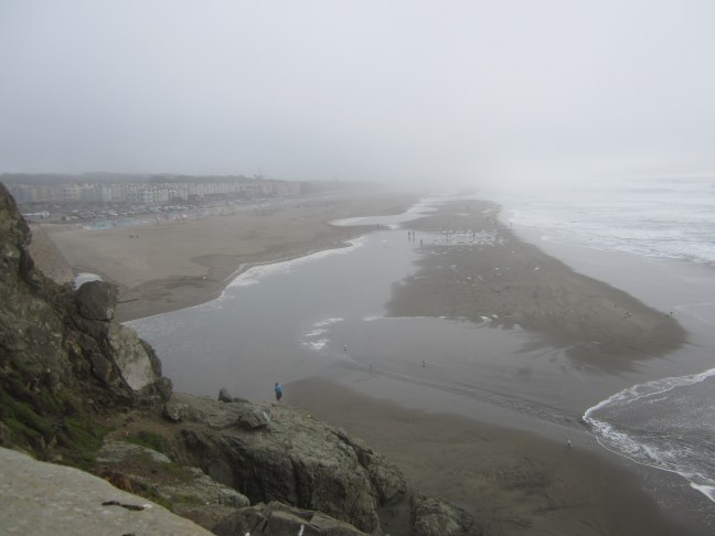
Then I left the rocky coast as the hill moved inland and took the road along Ocean Beach as the incoming coastal fog marred the view. Low tide made the beach even wider, but the November activity was all near the promenade – volleyball and frisbee games. I needed Mel to explain!
So then into Golden Gate Park. From the map it appears to be a set of formal activity spaces: soccer fields, dressage ring, polo field etc – and further east various institutions and pavilions. But my map didn’t show the myriad of formal and informal paths, small open bush areas with low gnarled trees forming bush playgrounds for the children, clearings in the woods that can be reserved by partying groups, and lots of eucalyptus trees among the spreading pine trees.


I ran out of steam about halfway up the park and bailed out to find the ‘N line train’ which turned out to be a tram that goes into tunnels and stops at stations co-located with the BART stations in the central city.
And so ended my USA-Canada trip.
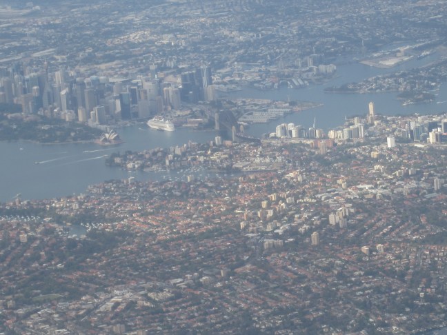
But the last photos were flying into Sydney with a northern approach to the airport.
Thanks for reading and and thanks for your comments. Until next time …

A very interesting informative record of you trip.
LikeLike